Subject: Roxas and further north
The trip north from Puerto Princessa was easy in the beginning. Offshore the
depths went from 4000 to 16 feet frequently which made for some spectacular
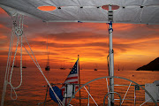
tidal rips (like the hump off Marathon). A squall gave us 18kts on the nose.
Green Island Bay has numerous islands and shoals and we soon found our
charts and chart plotter suspect. Our GPS chart plotter showed us sailing
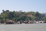
across an island that does not seem to exist. Roxas was found and we
anchored in 8.5ft well off the beach. Rosemary was delivered to her friend.
Jeff and Mark had a drink ashore and as foreigners became the town
attraction. The next morning it was apparent we had several problems. The
depth sounder did not work all the time, we were going east into the rising
sun and blinded, and the chart plotter was unreliable. So we chose a longer
safer route. Still I throttled back and slowly picked our way. In what
should have been 65ft of water, noted a water color change and pulled the
throttle to neutral. The depth sounder awoke and read 14ft. I reversed and
we hit and grounded at 3 kts. The sounder now reads 7.1 ft. We draw 7.5. So
after getting off we proceed very cautiously and found much wrong with the
charts. And the water is murky. Dumaran Island passage is narrow, reef
strewn, and charted by Capt Cook. We followed his route witch was fine
except for miles of unmarked fish farms. By early afternoon we were
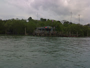
exhausted by the slow pace and put into a nearly landlocked bay for the
night. Without depth sounder we used the Fortress anchor and line as a lead
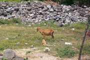
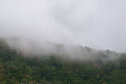
line to find bottom. Now anchored in remote mangroves watching the natives
slash and burn the hillsides.
Subscribe to:
Post Comments (Atom)


.jpg)
.jpg)
.JPG)
.jpg)
.jpg)
+(2).jpg)
.jpg)
.jpg)
.jpg)
.jpg)
.jpg)
.jpg)
.jpg)
.jpg)
.JPG)
.jpg)
.JPG)


No comments:
Post a Comment